
Mapping Zones & Well Attributes in StarSteer
ROGII University
32:02
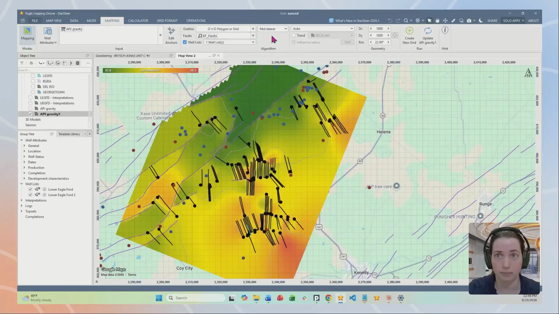
Rachel Grande is opening the toolbox on StarSteer's mapping side, from raw zone data to a finished thickness map. Tune in to see the full workflow live.
Key Topics:
- Generate geologic zones and create zonal data within StarSteer, establishing the foundation for consistent interpretation, analysis, and mapping workflows.
- Create, import, and manage well attributes to enhance your datasets and unlock additional mapping and visualization capabilities across your asset.
- Build meaningful maps from zone and well attribute data, including the creation of thickness maps to identify trends, evaluate reservoir quality, and support development decisions.
Speaker

Rachel Grande
Technical Sales Manager
Replays
See all

Mapping Zones & Well Attributes in StarSteer
32:02